We're parked across the way there.
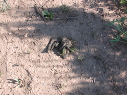
Bear scat! We were later told that there was an adolescent bear in the area.
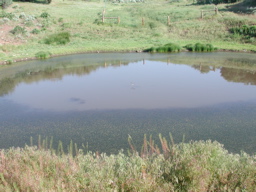
Birds were swooping down to pick up bugs off the water.
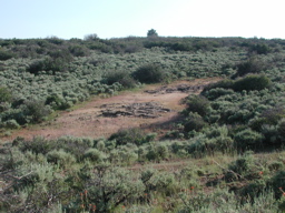
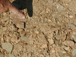
There were quite a few of these rock outcroppings where the bushes wouldn't grow. Either the soil is just too shallow there or it's highly radioactive. I put my head to the rock and didn't hear any ticking so I guess it wasn't the latter.
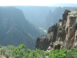
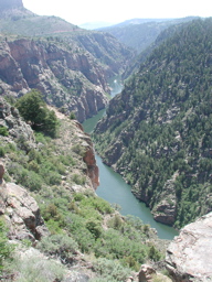
From the parking area where we started the hike, you can see the South Rim Visitor Center. That's the Gunnison Route to the river on the right.
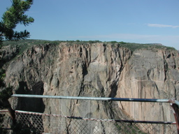
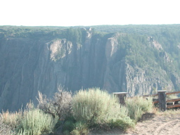
Hey! There be people on the other side of the canyon. Let's go check it out!
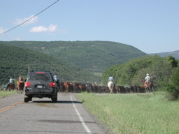
On the way we're delayed a while by a cattle drive.
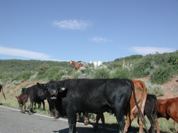
Really!
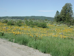
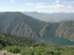
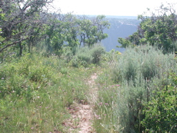
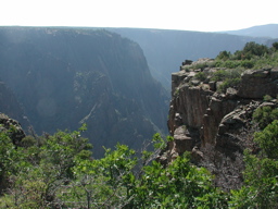
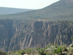
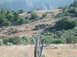
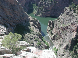
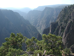
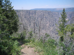
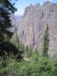
On the way we took in some great vistas.
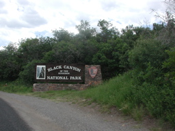
Black Canyon of the Gunnison South Rim entrance.
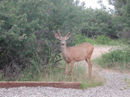
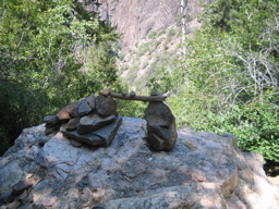
Greeter
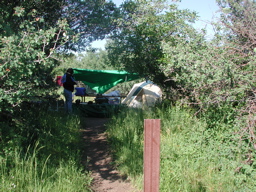
Camping was nice, but unfortunately less primitive.
Wingless wasp aka velvet ant. They're pretty but have quite a painful sting.
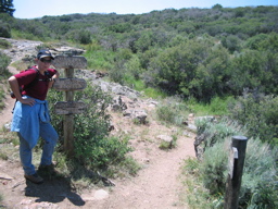
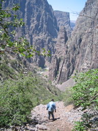
Gunnison Route to the river. Distance: 1 mile (1.6 km). Vertical Drop: 1800 feet (549 m).
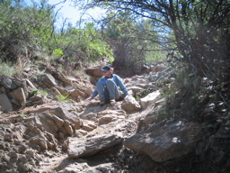
Ruth descends the chain.
Tom + Ruth